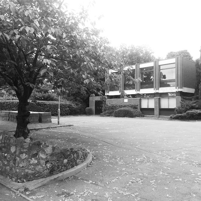
74. Frank Price Building - taken from Weoley Park Road. (9/AUG/2013)
Taken from vantage point a*
75. Frank Price Building - taken from Weoley Park Road. (9/AUG/2013)
Taken from vantage point a*
76 .Hamilton Building - taken from Weoley Park Road. (9/AUG/2013)
Taken from vantage point a*
77. Johnston House - taken from OLRC staff car park. (12/AUG/2014)
Taken from vantage point h*
78. Mary Burnie House - taken from Hamilton Drive. (12/AUG/2013)
Taken from vantage point z*
79. The Brooksbank Centre. (12/AUG/2013)
Taken from vantage point bb*
80.The OLRC car park showing the teaching wing. (12/AUG/2013)
Taken from vantage point j*
81. The rear of Mary Burnie House - taken from the thicket at the side of the OLRC car park. (12/AUG/2013)
#8 on the map*
#8 on the map*
82. The road to nowhere, the meadow, with Weoley Park Road in the background. (12/AUG/2103)
Taken from vantage point w*
83. The meadow (12/AUG/2013)
Taken from vantage point o*
84. The meadow, showing the teaching wing. (12/AUG/2013)
Taken from vantage point t*
85. The meadow - gateway to Bristol Road with view of George Cadbury Hall. (12/AUG/2013)
#12 on the map*
86. The meadow. (12/AUG/2013)
Taken from vantage point t*
87. The meadow. (12/AUG/2013)
Taken from vantage point y*
88. The edge of the meadow and the path along the side of the OLRC leading to Bristol Road. (12/AUG/2013)
Taken from vantage point f*
89. The Meadow - taken from the first floor of the OLRC. (12/AUG/2013)
90. The meadow - taken from the first floor of the OLRC. (12/AUG/2013)
* All black and white photos processed with Instagram.
All black and white photos processed with Instagram


No comments:
Post a Comment