Watch the remains of Mary Burnie House collapsing! (11/SEP/2013)
Taken across the road from vantage point dd*

172. Mary Burnie House is gone. It stood where the digger is. The OLRC can be seen in the background. Taken from Hamilton Drive. (12/SEP/2013)
Taken from vantage point c*

173. Panoramic shot (a little distortion) from where Hamilton Building stood on the left, to where Mary Burnie House stood on the right, showing Hamilton Drive. (12/SEP/2013)
Taken from vantage point c*
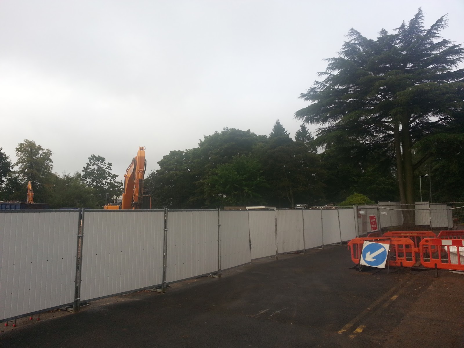
174. Where Mary Burnie House stood, the cedar tree on the right. Taken from Hamilton Drive. (12/SEP/2013)
Showing vantage point b*

175. What is left of Mary Burnie House. OLRC background left. Taken from Hamilton Drive. (12/SEP/2013)
Taken from vantage point b*

176. The rubble of Mary Burnie House. Taken from Hamilton Drive. (12/SEP/2013)
Taken from vantage point ee*

177. The rubble of Mary Burnie House. Taken from Hamilton Drive. (12/SEP/2013)
Taken from vantage point dd*

178. The rubble of Mary Burnie House. Taken from Hamilton Drive. (12/SEP/2013)
Taken from vantage point ee*

179. The rubble of Mary Burnie House. Taken from the thicket. (12/SEP/2013)
Taken from vantage point ee*

180. The rubble from Mary Burnie House and Brooksbank Centre with Frank Price Building in the background. Taken from the thicket. (12/SEP/2013)

181. The remains of Mary Burnie House, taken from Hamilton Drive. (12/SEP/2013)
*See map and key for vantage points: Map and key
In the 1970s it housed residential accommodation for Westhill College and educational facilities for Youth Workers.
ReplyDelete